Watershed Health
WATERSHED HEALTH
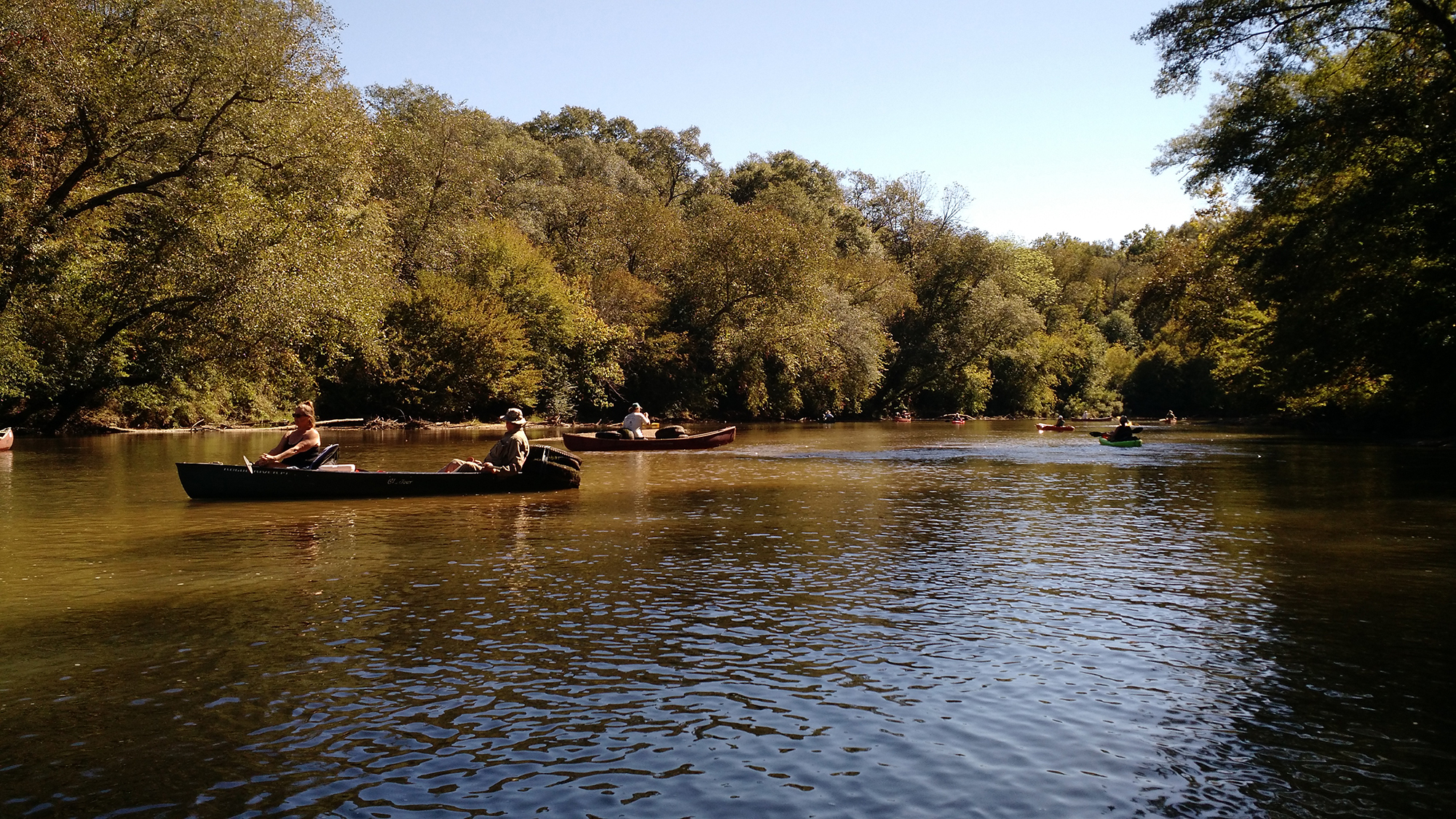
Broad River Watershed Management Plan
To learn more about "Best Management Practices" and other watershed health methods by taking a look at the Broad River Watershed Management Plan.
Clean Water Act
Every river in the state has designated uses, such as "fishing", "recreation", or "drinking water". These rivers are surveyed and assessed based on the water quality and whether their uses might be adversely affected by bad water conditions. If conditions in the waterbody can not support the designated use, the waterbody is listed by the state under their impaired waters list. The 303(d) list is the list of impaired waters under the Clean Water Act.
As of 2012, 16 stream segments (109 river miles) in the Broad River Watershed are 303(d) listed as not supporting their designated uses. All of these streams have the designated use of fishing. Within the watershed:
- 18 stream miles violated the criterion of Biota Impacted (Fish Community)
- 9 stream miles violated the criterion of Biota Impacted (Macroinvertebrate Community)
- 3 stream miles violated the criterion of Dissolved Oxygen
- and 79 stream miles violated the criterion of Fecal Coliform Bacteria
The sources of these water quality issues were estimated to be Nonpoint Sources/Unknown Sources, Urban Runoff/Urban Effects, and Municipal Facilities.
For a summary of the 2012 streams in the Broad River watershed that are not meeting their designated uses, see the table here.
Nonpoint Sources/Unknown Sources
Nonpoint Sources of pollution are pollution sources that don't have a specific point of origin (like a pipe that drains into the river (runoff).
As rainfall moves over the ground or through the ground, pollutants are "picked up" by the water and transported into waterbodies. Nonpoint pollution sources can include:
- Fertilizers, herbicides, pesticides from agricultural runoff
- Bacteria and excess nutrients from livestock or other animal facilities
- Oil and other chemicals from urban runoff (roads, parking lots)
- Leaking septic tanks and sewerage systems

Point Source Pollution
Point Sources of pollution are discharges from known sources like waste water treatment plants, storm water discharges, industry, and other municipal facilites.
Total Maximum Daily Load (TMDL)
Total maximum daily load is part of the Clean Water Act. It is the maximum amount of pollutants that can be in the water without impairing the water quality. The TMDL calculations are done for each impaired waterbody, based on the estimated sources of the pollutants. When a watershed is considered impaired an implementation or watershed plan is developed to help restore the watershed to unimpaired levels.
Bacteria Monitoring
The Northeast Georgia Regional Development Center along with volunteers from the Broad River Wateshed Association has been monitoring a 5-mile section of the Broad River (from Highway 281 to Scull Shoal Creek) in Madison County in an effort to learn more about the fecal coliform contaminants in the river.
The aims of this project include trying to update knowledge about the fecal coliform levels within this reach of river and involve stakeholders in watershed protection. To do this, volunteers will collect water samples within the watershed and test them for the presence of fecal coliform bacteria and Escherichia coli (E. coli). The presence of E. coli in the water typically indicates contamination of the water with either human or animal wastes. These wastes can also bring along with them pathogens or other bacteria that can cause disease and sickness in humans, such as hepatitis A, typhoid, and cholera.
Sampling for this project is still underway.
More Information
For more information about the Clean Water Act and 303(d) listing of impaired waters follow this link.
For a complete list of all of the impaired waters of Georgia download the file at the Georgia EPD website.
Read more about the SR 281 to Scull Shoal Creek Total Maximum Daily Load implementation plan. (this is an Adobe Acrobat pdf file hosted by Georgia EPD).
Read more about the Broad River Watershed Associations other water quality monitoring in the Broad River Watershed on our Adopt-A-Stream page.
For CoCoRaHS web page. CoCoRaHS is an acronym for the Community Collaborative Rain, Hail and Snow Network. CoCoRaHS is a unique, non-profit, community-based network of volunteers of all ages and backgrounds working together to measure and map precipitation (rain, hail and snow). Follow this link.